Supplementary source · Saqib Ali
Download original presentationImage analysis workshop
The supplied presentation introduces maize image analysis using RGB and multispectral sensors. It is supporting material, outside the numbered CS-702 lecture sequence.
How this relates to algorithms
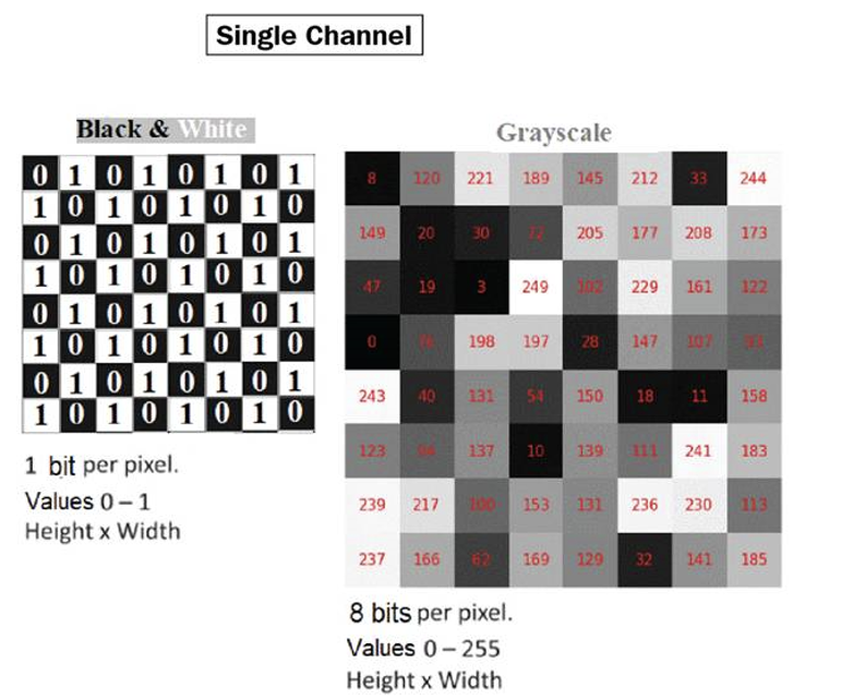
Digital images are multidimensional arrays. Resolution determines the number of pixels to process. Segmentation identifies regions, and feature extraction turns those regions into measurements. These connections are supplementary context; the original workshop focuses on agricultural sensing applications.
The workshop moves from pixels, color and reflectance to sensor platforms, plant and plot measurements, regional satellite analysis and time series. Text and embedded images are retained below. The original presentation also preserves slide layout and any drawing objects.
Slide 1 · Maize Image Analysis using RGB and Multispectral Sensors
Maize Image Analysis using RGB and Multispectral Sensors
Saqib Ali
Precision Agriculture Lab
CAS-UAF
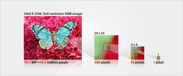
Slide 2 · What is a Pixel?
What is a Pixel?
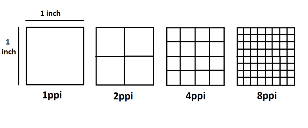
Slide 3 · Image Resolution
Image Resolution
Slide 4 · Image as Multidimensional Arrays and Matrices
Image as Multidimensional Arrays and Matrices
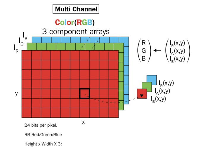
Slide 5 · Visible Light and Colors
Visible Light and Colors
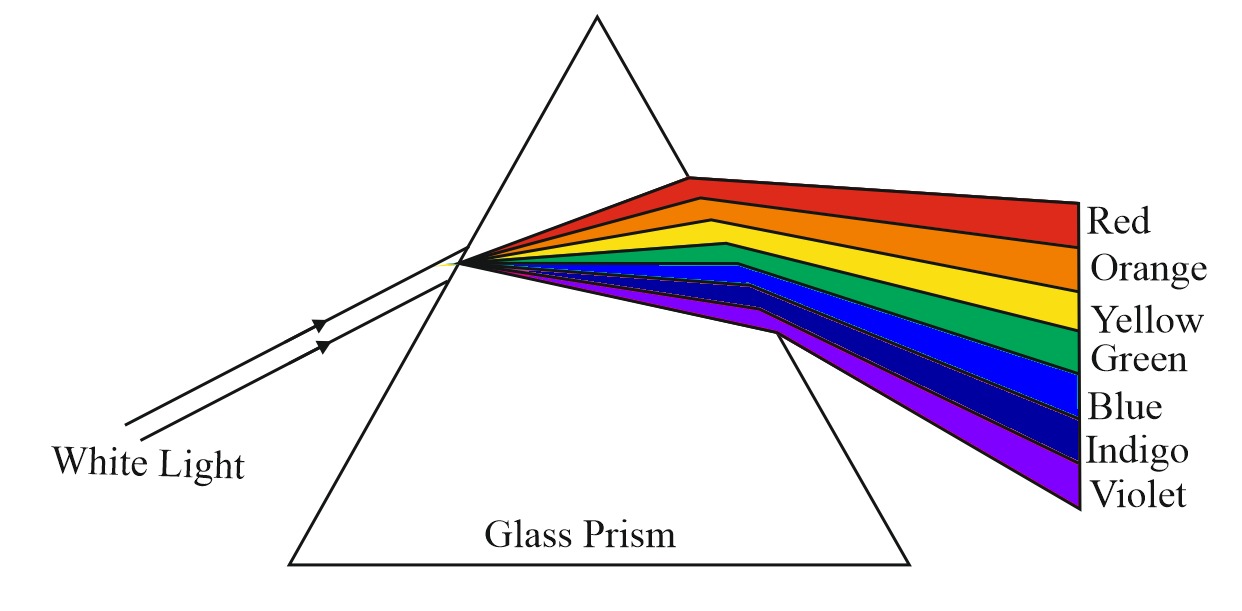
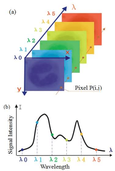
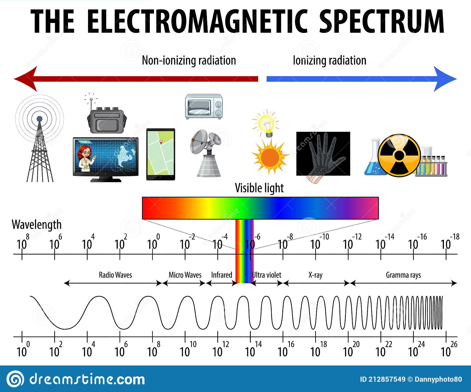
Slide 6 · Electromagnetic Spectrum
Electromagnetic Spectrum
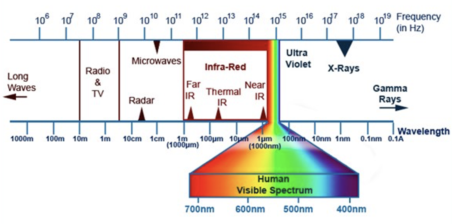
Slide 7 · Infrared Band
Infrared Band
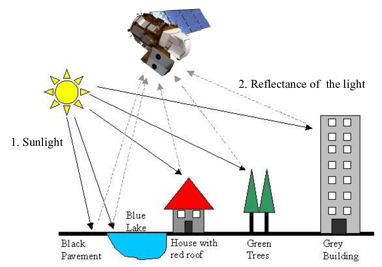
Slide 8 · Reflectance of Light
Reflectance of Light
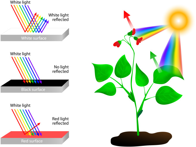
Slide 9 · Colors and Reflectance
Colors and Reflectance
Slide 10 · Visual material
Slide 11 · Visual material
Slide 12 · Visual material
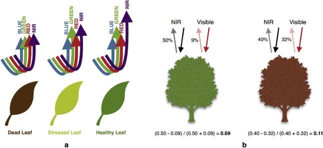
Slide 13 · Visual material
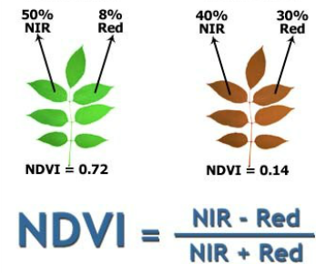
Slide 14 · Visual material
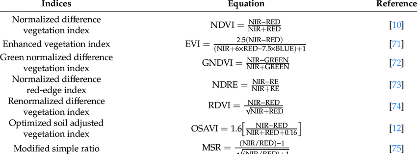
Slide 15 · Sensors – Precision Agriculture Lab
Sensors – Precision Agriculture Lab
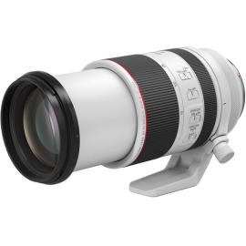
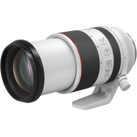
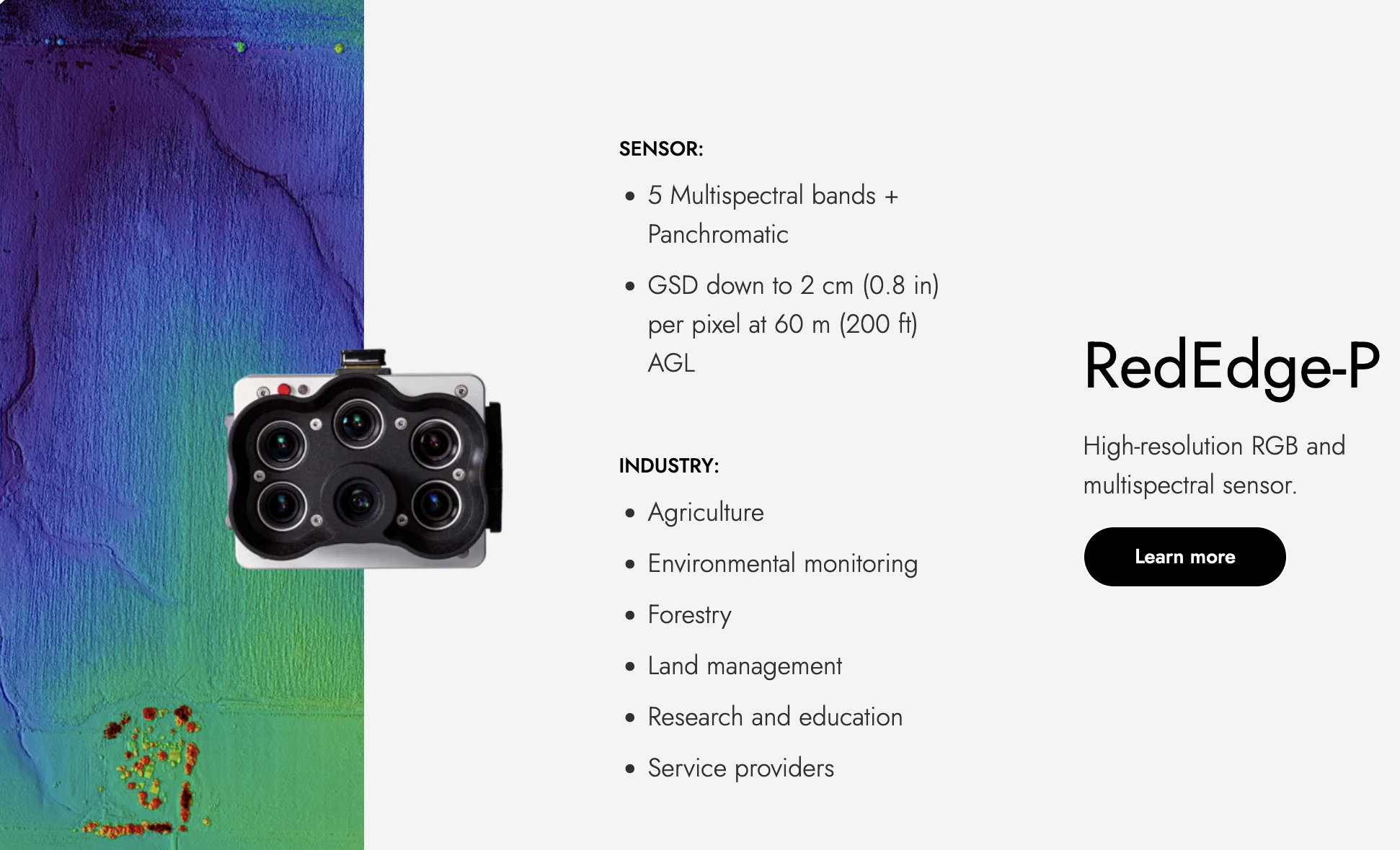
Slide 16 · Sensors – Precision Agriculture Lab
Sensors – Precision Agriculture Lab

Slide 17 · Sensors – Precision Agriculture Lab
Sensors – Precision Agriculture Lab
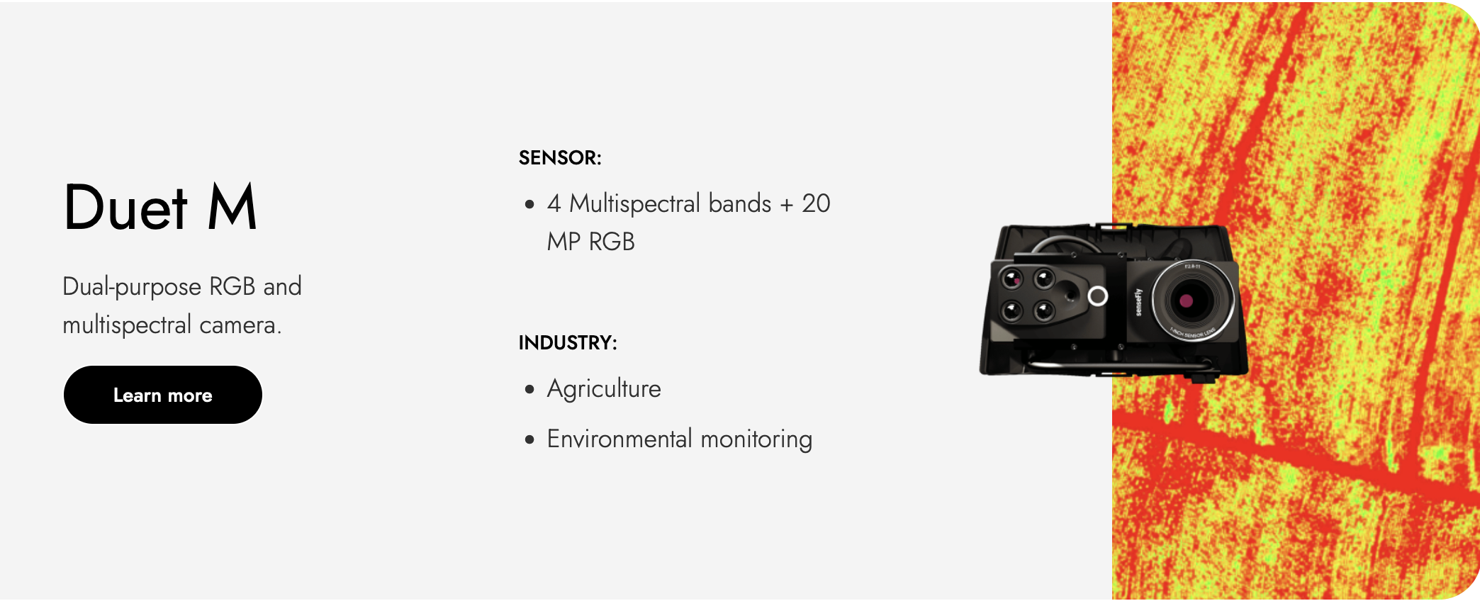
Slide 18 · Sensors – Precision Agriculture Lab
Sensors – Precision Agriculture Lab
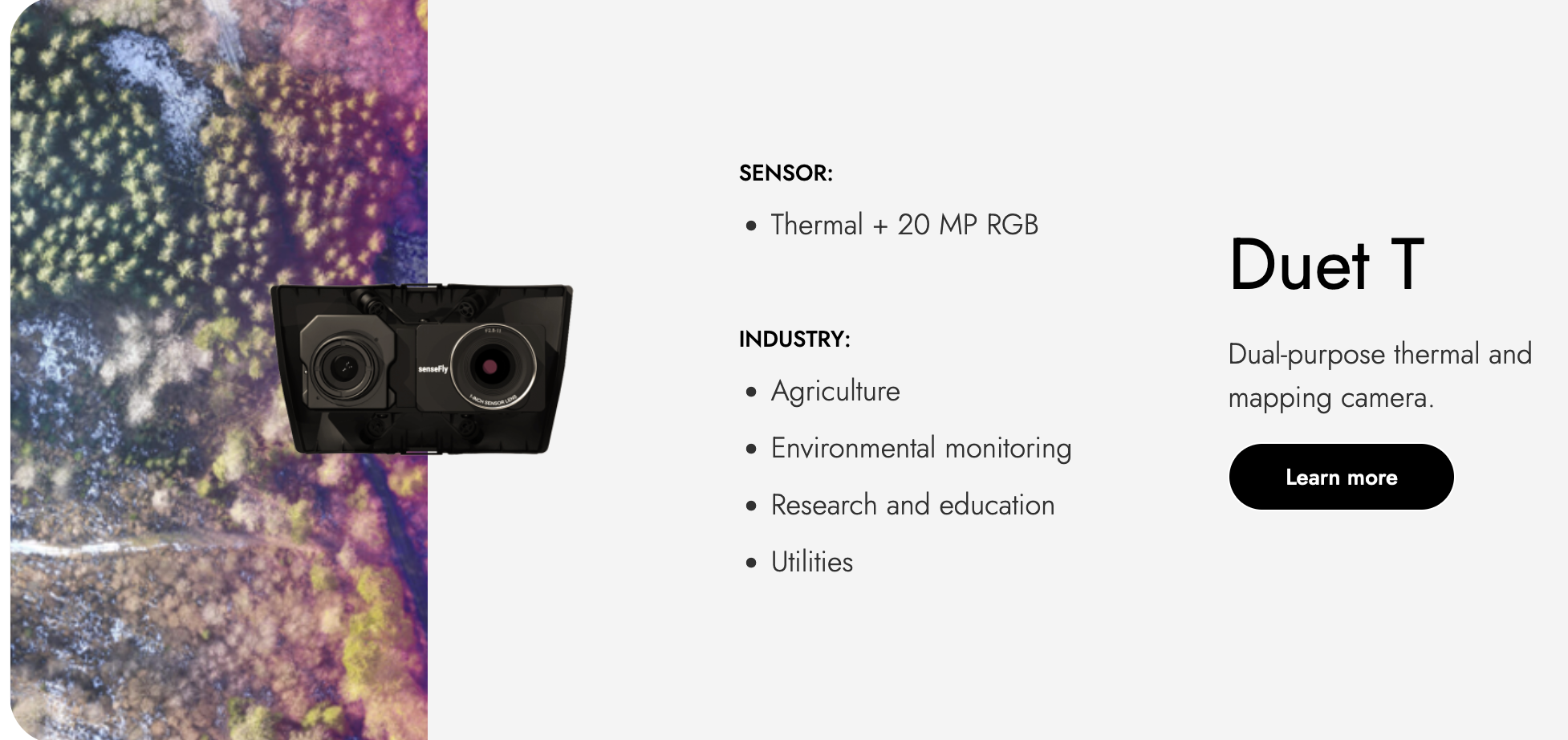
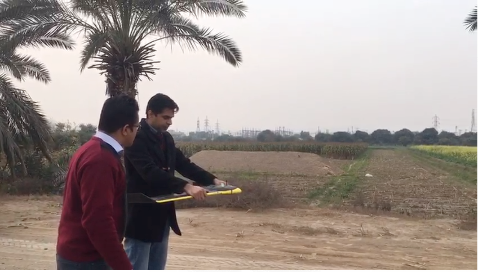
Slide 19 · Handheld Sensors – Precision Agriculture Lab
Handheld Sensors – Precision Agriculture Lab
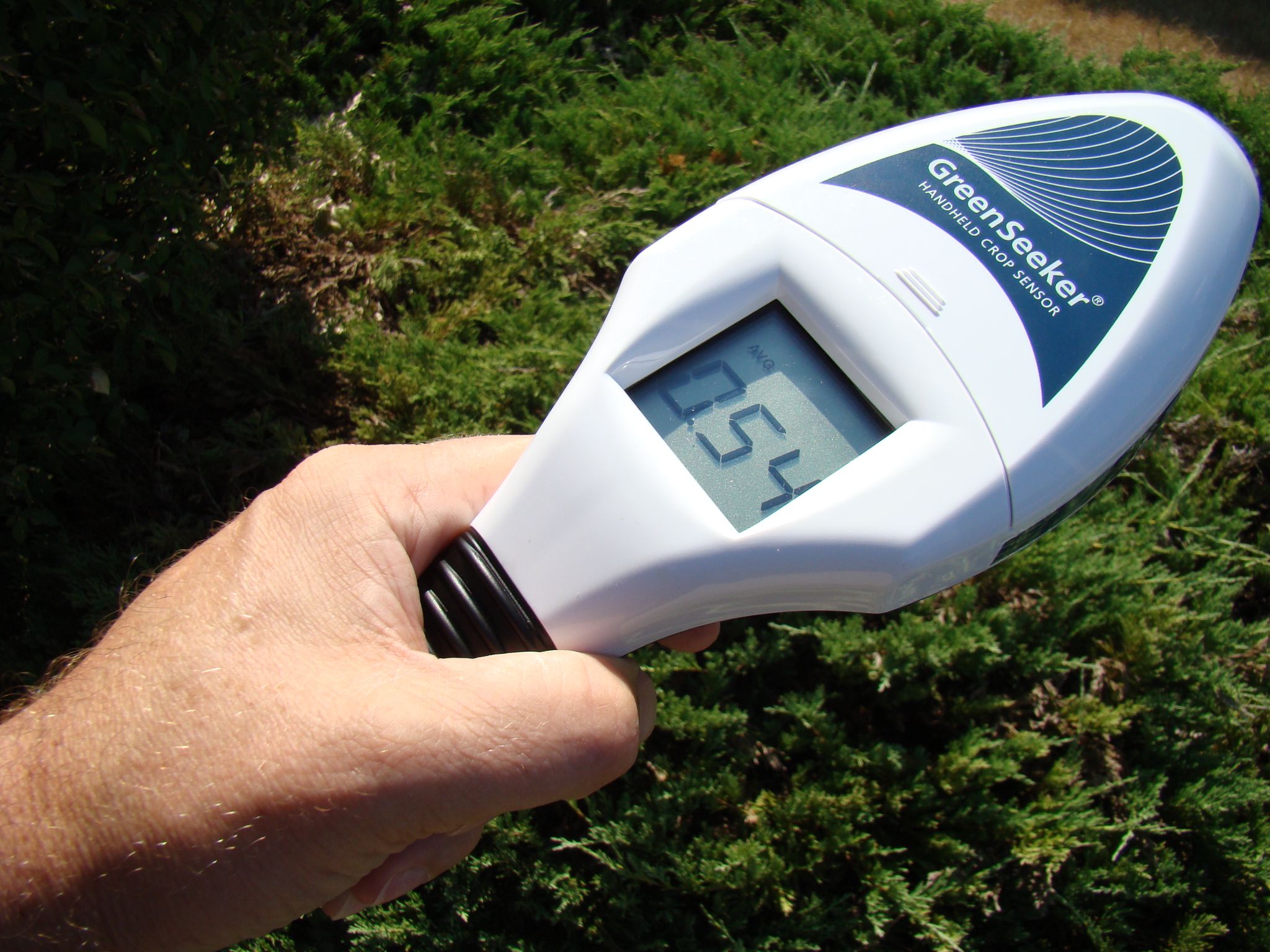
GreenSeeker Handheld Crop Sensor
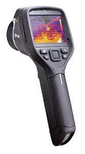
FLIR E6-XT Thermal Imaging Camera
Slide 20 · Platforms – Precision Agriculture Lab
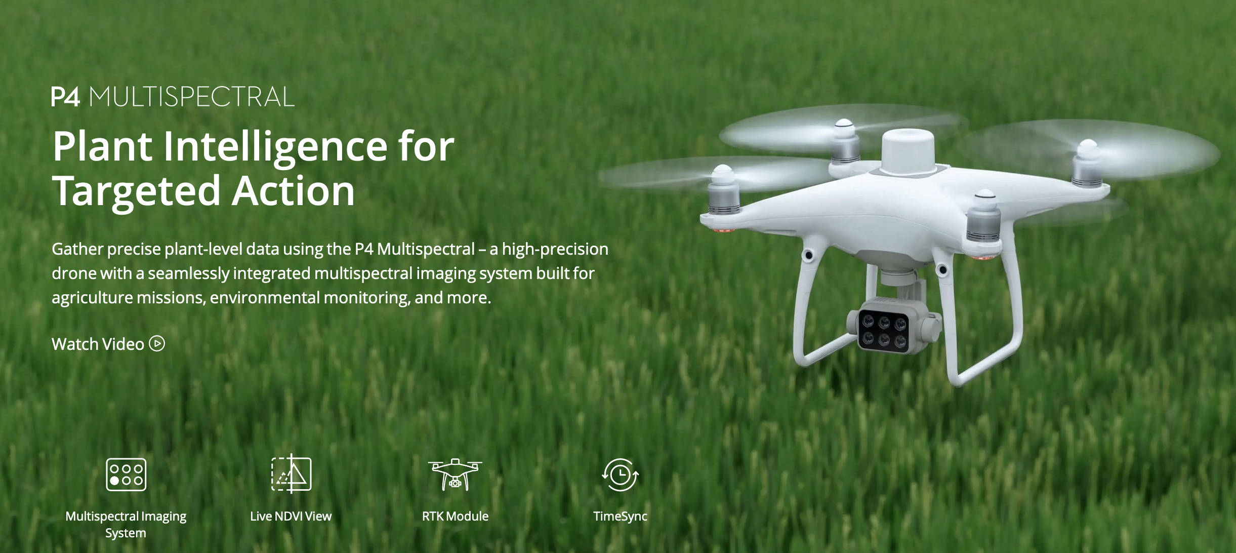
Platforms – Precision Agriculture Lab
Slide 21 · Platforms – Precision Agriculture Lab
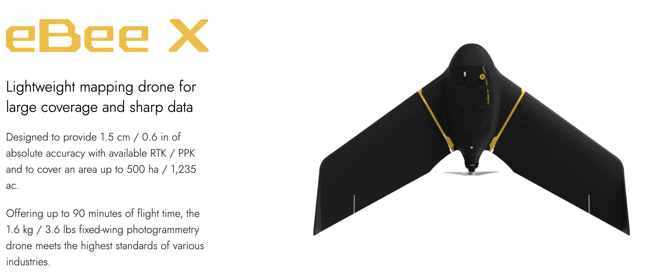
Platforms – Precision Agriculture Lab
Slide 22 · Platforms – Precision Agriculture Lab
Platforms – Precision Agriculture Lab
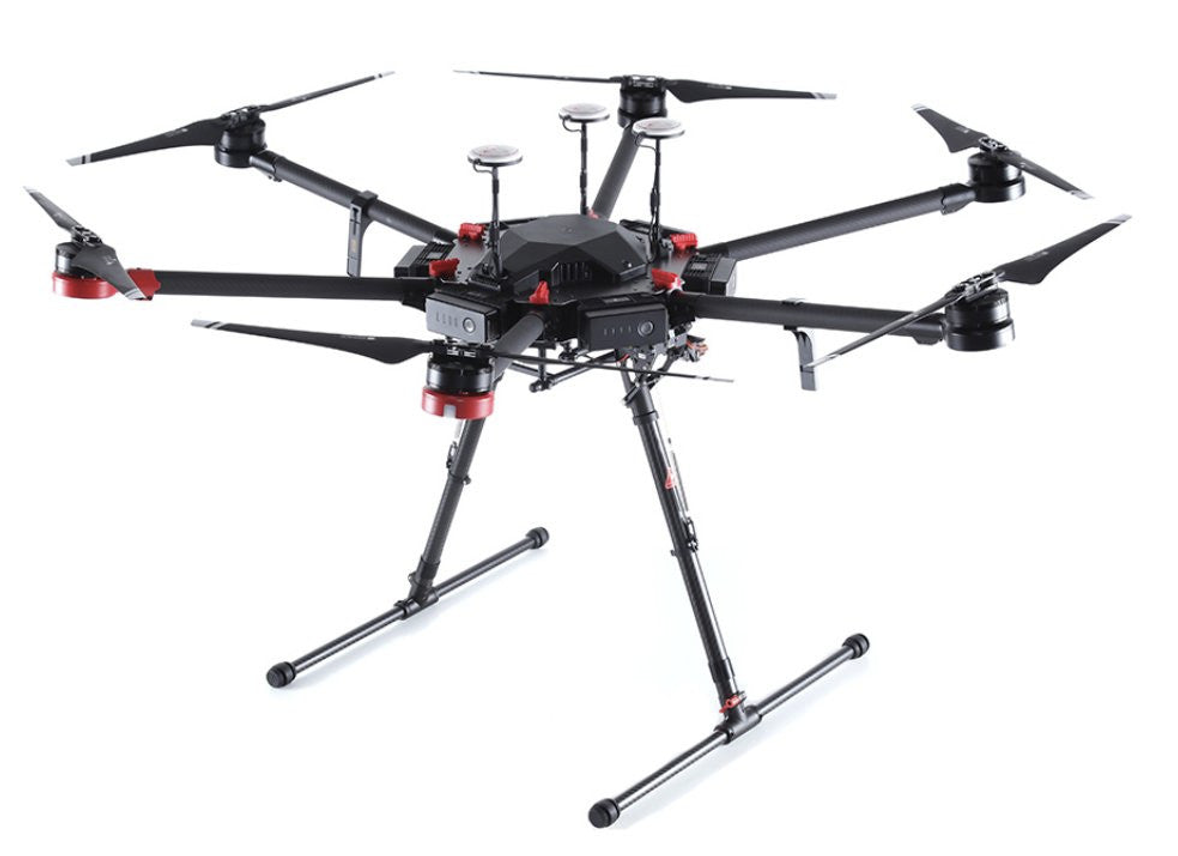
DJI Matrice M600 PRO
Slide 23 · Phenotyping – Plant Level
Phenotyping – Plant Level
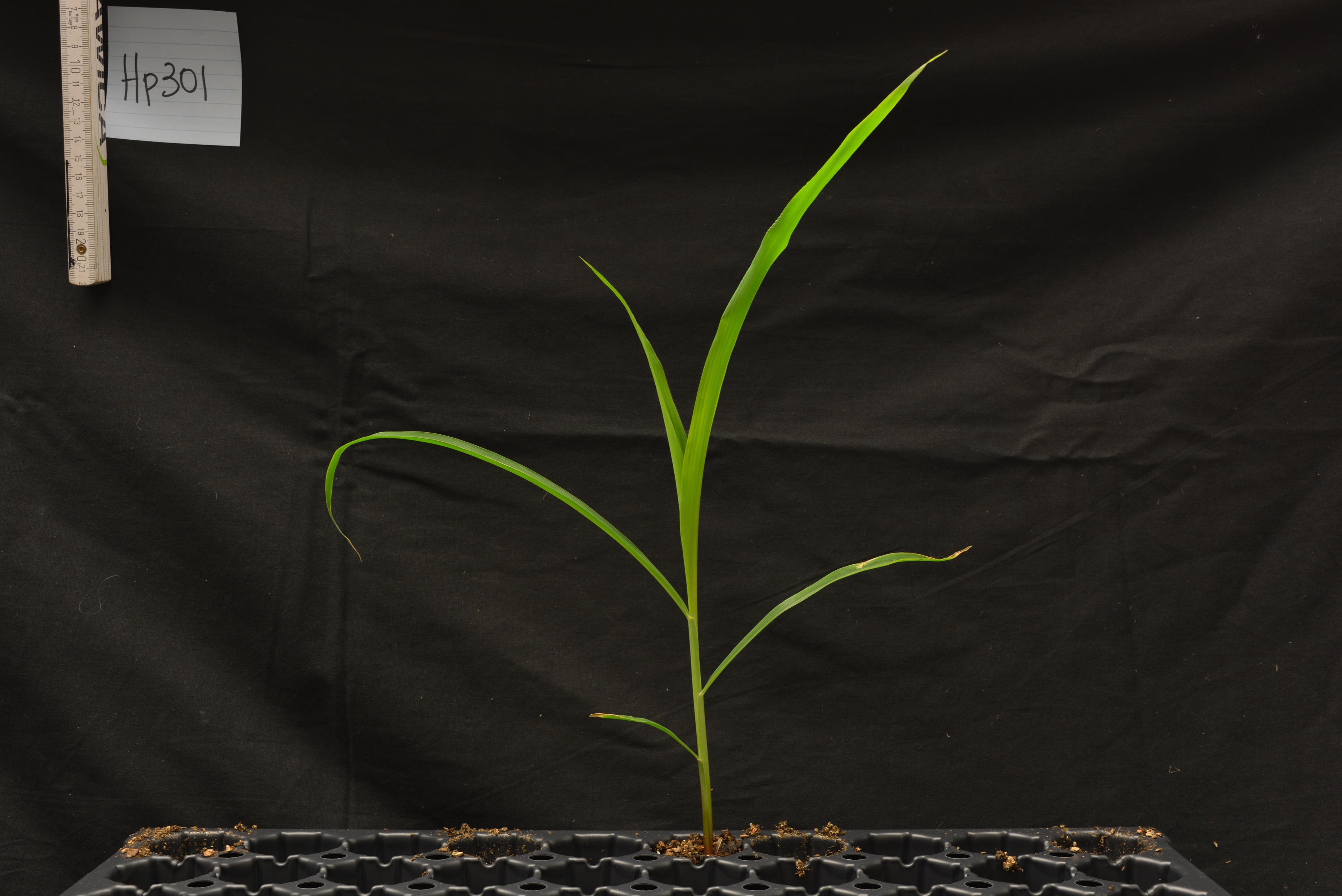
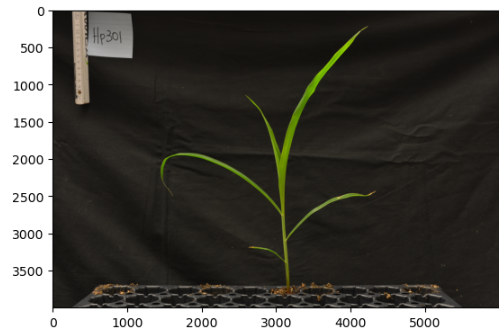
Maize Image
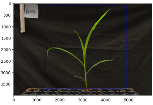
Region of Interest
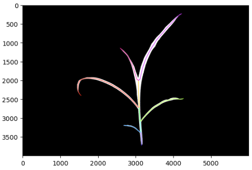
Segmentation
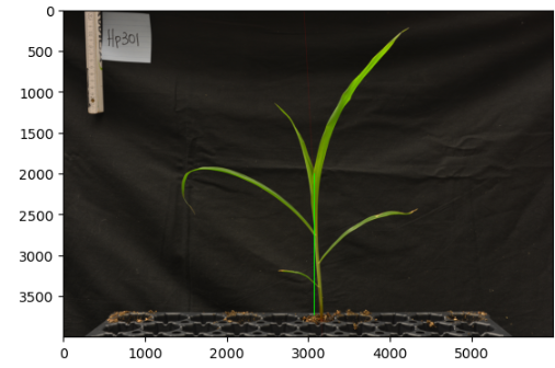
Slide 24 · Plant Height Detection
Plant Height Detection
Stem Height Detection
Height Detection
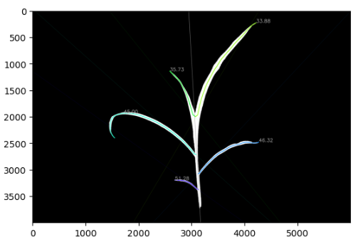
Slide 25 · Leaf Segmentation
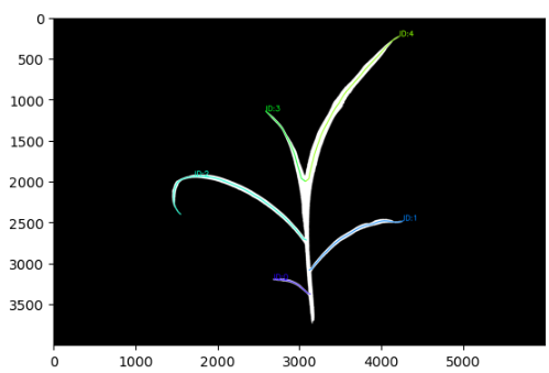
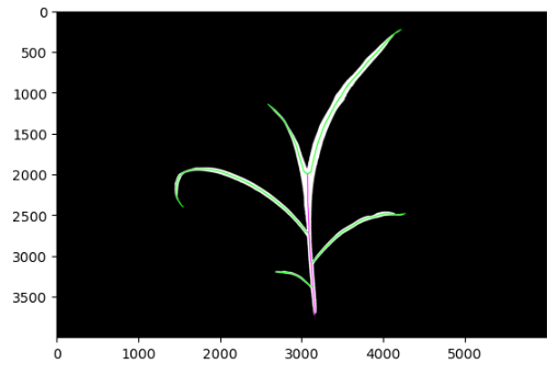
Leaf Segmentation
Leaf Instances
Leaves Count
Leaves Angles
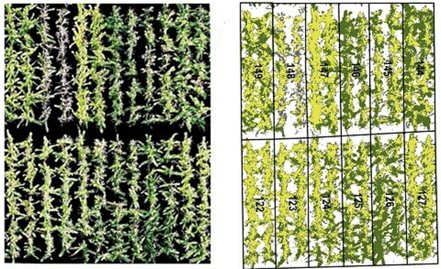
Slide 26 · Plant Phenotyping – Plot Level
Plant Phenotyping – Plot Level
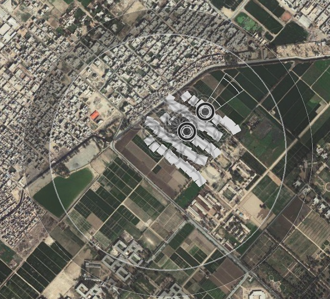
Slide 27 · Satellite Image Processing–Regional Level
Satellite Image Processing–Regional Level
February 11, 2013
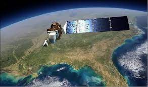
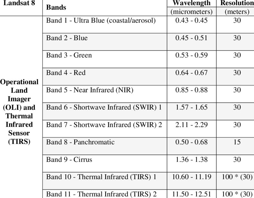

Slide 28 · Satellite Image Processing–Regional Level
Satellite Image Processing–Regional Level
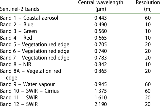

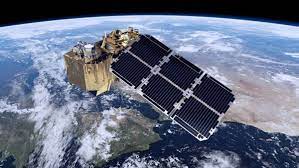
Slide 29 · High-resolution Satellite Imagery
High-resolution Satellite Imagery
| Source | Launch Year | Orbit altitude (km) | Panchromatic (nm) | Spatial resolution (m GSD) * | Multispectral | Spatial resolution (m GSD)* | Other | Spatial resolution (m GSD) | Temporal resolution (days)* | Swath width at Nadir (km) |
| WorldView-1 | 2007 | 496 | NA | 0.50 | – | – | – | – | 1.7 | 17.6 |
| GeoEye | 2008 | 770 | 450–800 | 0.46 | R, G, B, NIR | 1.84 | – | – | 2.1 | 15.2 |
| WorldView-2 | 2009 | 770 | NA | 0.46 | R, G, B, Y, RE, NIR1, NIR2, Coastal | 1.84 | – | – | 1.1 | 16.4 |
| Pleiades-1A | 2011 | 695 | 480–830 | 0.50 | R, G, B, NIR | 2.00 | – | – | 1.0 | 20.0 |
| Pleiades-1B | 2012 | 695 | 480–830 | 0.50 | R, G, B, NIR | 2.00 | – | – | 1.0 | 20.0 |
| KOMPSAT-31 | 2012 | 685 | 450–900 | 0.70 | R, G, B, NIR | 2.8 | – | – | 1.4 | 15.0 |
| WorldView-3 | 2014 | 617 | 450–800 | 0.31 | R, G, B, Y, RE, NIR1, NIR2, Coastal [400–1040 nm] + 8 SWIR bands [1195–2365 bands] | 1.24 OR 3.70 | 12 CAVIS Bands [405–2245 nm] | 30.0 | 1.0 | 13.0 |
| KOMPSAT-3A | 2015 | 528 | 450–900 | 0.55 | R, G, B, NIR | 2.20 | MWIR [3.3–5.2 µm] | 5.5 | 1.4 | 12.0 |
| SkySat2, 3 | 2013–2017 | 475–575 | 450–900 | 0.72–0.86 | R, G, B, NIR | 1.00 | – | – | 4.0–5.0 | 6.6–8.0 |
Slide 30 · Work Flow
Work Flow
Slide 31 · Practical Implementation
Practical Implementation
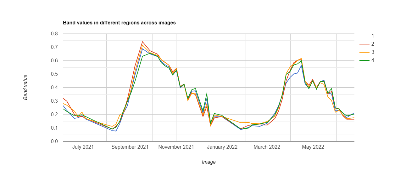
Slide 32 · Time Series NDVI values of Maize
Time Series NDVI values of Maize
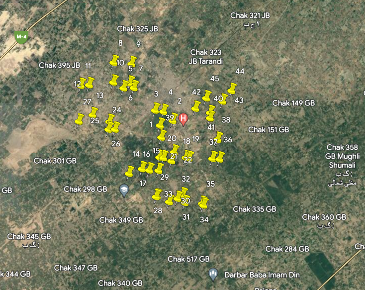
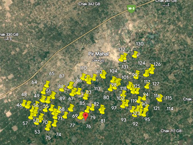
Slide 33 · Maize Crop Area Estimation with Farmdar
Maize Crop Area Estimation with Farmdar
Slide 34 · Visual material